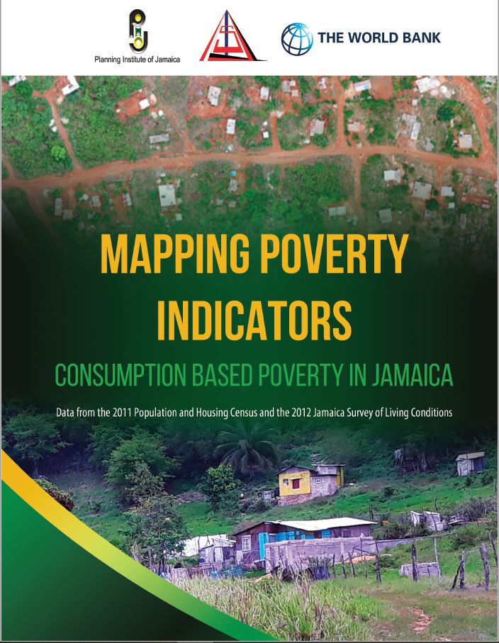
Mapping Poverty Indicators: Consumption Based Poverty in Jamaica
FREE
Poverty mapping combines survey and population census data to facilitate the spatial representation and analysis of indicators of human well-being and poverty within a region. This publication, produced jointly by the Planning Institute of Jamaica (PIOJ) and the Statistical Institute of Jamaica (STATIN), represents the third in the series, and provides detailed, disaggregated pictorials of poverty throughout the country, including the incidence of food and
overall poverty.
 Government of Jamaica


